
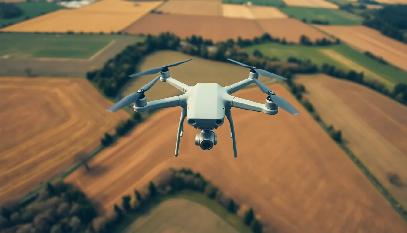
Drones have taken to the skies, transforming how we capture stunning aerial views and deliver packages faster than a pizza on game night. But have you ever wondered how these high-flying gadgets find their way through the clouds? Enter the fascinating world of drone flight paths, where technology meets a bit of aerial choreography.
Understanding these flight paths isn’t just for techies and hobbyists; it’s crucial for safety, efficiency, and even avoiding that neighbor who thinks their garden gnome collection is a work of art. From optimizing routes to navigating obstacles, the science behind drone navigation is both intriguing and essential. So buckle up and prepare for a wild ride through the skies, where every twist and turn reveals the secrets of drone flight paths.
Overview Of Drone Flight Paths
Understanding drone flight paths is crucial for ensuring safety and enhancing operational efficiency. These paths dictate how drones navigate through airspace, avoiding obstacles while optimizing their routes.
Importance Of Planning Flight Paths
Planning flight paths allows for effective navigation and obstacle avoidance. Efficient routes enhance flight time and reduce energy consumption. Drones that follow well-planned paths minimize the risk of collisions with other aircraft or structures. An optimized flight plan increases the accuracy of tasks like aerial photography or delivery services. Proper planning ensures compliance with regulations governing airspace usage.
Factors Influencing Flight Paths
Multiple factors influence drone flight paths, including weather conditions and geographical features. Wind speed and direction affect stability and control, necessitating adjustments to flight plans. Terrain such as hills or buildings can create obstacles that drones must navigate around. Regulations imposed by aviation authorities often restrict certain areas, affecting flight path options. Battery life duration also plays a critical role in determining the distance a drone can travel before needing a recharge.
Types Of Drone Flight Paths
Understanding different types of drone flight paths enhances operational efficiency and safety. Two primary categories exist: fixed flight paths and dynamic flight paths.
Fixed Flight Paths
Fixed flight paths operate on predefined routes. These paths allow drones to follow a specific trajectory, minimizing the risk of collisions. Common applications include aerial photography and mapping projects. When mapping an area, pilots can set waypoints to ensure a consistent flight path, capturing images at regular intervals. Fixed paths require careful planning, ensuring drones avoid obstacles like buildings and trees. Efficiency increases with these planned routes, as they enable drones to complete missions quickly and accurately.
Dynamic Flight Paths
Dynamic flight paths adapt to changing conditions. These paths allow drones to navigate around obstacles in real time. Pilots often utilize this flexibility to respond to unexpected events such as changing weather or moving objects. Applications of dynamic paths include search and rescue missions, where quick decision-making is critical. With advanced sensors and AI technology, drones can identify and react to objects, optimizing their routes as they fly. This adaptability enhances the overall effectiveness of drone operations, particularly in complex environments.
Technology Behind Drone Flight Paths
Drones rely on advanced technology to navigate efficiently and safely through their flight paths. Critical components of this technology include GPS systems and specialized software that optimize routing.
GPS And Navigation Systems
GPS technology plays a vital role in drone navigation. It provides real-time location data, enabling drones to pinpoint their exact positions within a few centimeters. Various models utilize additional navigation aids such as accelerometers and gyroscopes to maintain stability and direction. Drones equipped with multi-GNSS capabilities can access signals from GPS, GLONASS, Galileo, and BeiDou, enhancing reliability. Integration of these systems allows for precise altitude monitoring and controlled descent during landing.
Software For Flight Path Optimization
Software applications enhance the capability of drones to plan efficient flight paths. Specialized tools analyze multiple variables, including no-fly zones, weather forecasts, and geographical features. These programs generate optimal routes, reducing flight times and conserving battery life. Algorithms assess real-time data, allowing drones to dynamically adapt to changing conditions or obstacles. Some software even allows users to set waypoints and customize flight paths for specific missions, ensuring operational flexibility and maximized efficiency.
Regulatory Considerations
Drones operate within a framework of regulations that ensure safety and compliance in the airspace. Understanding these regulations is crucial for responsible drone operation.
FAA Regulations
The Federal Aviation Administration (FAA) establishes regulations that govern unmanned aircraft systems (UAS) in the United States. Pilots must register their drones if they weigh more than 0.55 pounds, ensuring accountability within the airspace. Part 107 specifies rules for commercial drone operations, including limits on altitude and restrictions around airports. Operators must maintain a visual line of sight during flights, enhancing safety by reducing collision risks. The FAA also mandates specific training and certification for commercial drone operators, reinforcing the importance of maintaining professional flying standards.
Local Restrictions
Local jurisdictions impose additional restrictions that complement federal regulations. These restrictions may vary significantly from one area to another, so operators must be aware of local laws and ordinances. For example, some cities prohibit drone flights over certain public spaces, like parks or events, to ensure safety and privacy. Additionally, local laws may impose designated no-fly zones, particularly around sensitive locations like schools or hospitals. By researching local restrictions before any flight, operators can avoid legal penalties and ensure safe drone navigation within specific communities.
The advancements in drone technology have revolutionized how aerial tasks are performed. Understanding flight paths is essential for maximizing safety and efficiency. By carefully planning routes and adapting to real-time conditions, drones can navigate complex environments with ease.
The integration of GPS and specialized software ensures that drones not only follow predefined paths but can also adjust dynamically to obstacles. Compliance with regulations further enhances operational safety, allowing drone operators to fly responsibly. As this technology continues to evolve, the potential applications for drones will expand, offering exciting opportunities across various industries.