In the heart of winter, when snowflakes dance and slopes beckon, danger lurks beneath the surface. Avalanches can turn a serene snowy landscape into a chaotic scene in seconds. But fear not! Drones are swooping in to save the day, combining cutting-edge technology with a sprinkle of aerial magic.
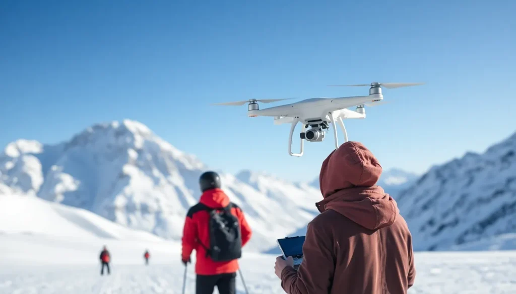
These high-flying gadgets are not just for capturing Instagram-worthy shots of mountain peaks. They’re revolutionizing avalanche monitoring, offering real-time data and insights that keep adventurers safe. Imagine a drone zipping through the air, equipped with sensors and cameras, all while you sip hot cocoa by the fire. It’s like having a snow-savvy sidekick that never gets cold!
Overview of Drones for Avalanche Monitoring
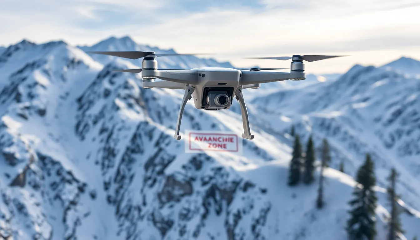
Drones play a crucial role in avalanche monitoring, offering innovative solutions to enhance safety for winter sports enthusiasts and mountain inhabitants. Equipped with advanced sensors and cameras, these devices capture high-resolution images and gather critical data in real-time. Rapid deployment allows for immediate assessment of snow conditions, aiding in proactive avalanche risk management.
Different types of drones are utilized in avalanche monitoring. Fixed-wing drones excel in covering large areas, providing comprehensive aerial views of mountain terrains. Multirotor drones offer greater maneuverability and can hover in place, making them suitable for detailed inspections of specific locations.
Integration of thermal imaging technology equips drones to detect subtle temperature variations in snowpack layers. This capability helps identify potential weaknesses in the snow structure, which might indicate an imminent avalanche. Additionally, LiDAR-equipped drones generate 3D models of terrains, revealing changes in snow depth and aiding in precise risk evaluation.
The data collected by drones contributes significantly to decision-making processes. Avalanche forecasters use this information to create accurate forecasts and advisories that enhance public safety. Collaboration between drone operators and avalanche professionals improves overall effectiveness in monitoring efforts.
Funding and technology advancements have encouraged the adoption of drones in various regions known for heavy snowfall. As more organizations recognize their benefits, the reliance on drones for avalanche monitoring is likely to increase. When combined with traditional monitoring methods, drones provide a comprehensive approach to managing avalanche risks, ensuring a safer environment for winter activities.
Benefits of Using Drones
Drones offer significant advantages for avalanche monitoring, enhancing safety, and providing cost-effective solutions.
Enhanced Safety for Operators
Using drones reduces the need for personnel to enter high-risk avalanche zones. Operators can monitor conditions from a safe distance, minimizing exposure to avalanche hazards. Drones equipped with sensors and cameras gather critical data without putting human life at risk. Real-time visuals aid in assessing potential threats effectively. Reduced risk for human operators directly translates to safer decision-making processes. Drones also facilitate quicker responses to potential avalanche situations, leading to timely interventions. As a result, winter sports enthusiasts and mountain inhabitants experience improved safety.
Cost-Effective Solutions
Drones present a cost-effective alternative to traditional avalanche monitoring methods. They require less manpower and equipment, lowering operational expenses. High-resolution aerial imagery and data collection reduce the frequency of time-consuming ground inspections. Budget-conscious organizations can allocate funds toward expanding monitoring coverage instead of investing in extensive ground teams. Furthermore, drones can cover large areas much faster than conventional methods, enhancing monitoring efficiency. Their versatility allows for various applications, making them an economical choice for avalanche risk management. This efficiency maximizes the impact of available resources, thus ensuring comprehensive safety measures.
Types of Drones Used in Avalanche Monitoring
Various drone types support avalanche monitoring efforts. Each type serves distinct purposes, enhancing data collection and safety measures.
Fixed-Wing Drones
Fixed-wing drones excel in covering extensive areas quickly. These drones operate like airplanes, allowing them to fly longer distances without needing constant adjustment. Equipped with high-resolution cameras, they capture broad landscape images and detailed snow condition analyses. Data collected from these flights assists forecasters in assessing snowpack stability and general avalanche risks. Cost-effectiveness plays a significant role; fixed-wing models require less human intervention compared to traditional methods. Many organizations leverage these advantages for effective avalanche management in remote locations.
Multirotor Drones
Multirotor drones offer flexibility through vertical takeoff and landing capabilities. They perform detailed inspections of specific avalanche-prone areas, providing high-resolution imagery and real-time data that fixed-wing drones might miss. These drones’ ability to hover in place enables close-up assessments of snow conditions and terrain features. Utilization of advanced sensors, including thermal cameras, enhances their functionality by detecting subtle temperature variations. Furthermore, multirotor models require less space for deployment, making them ideal for mountainous settings where accessibility is limited. Enhanced precision in data collection significantly supports avalanche forecasting and risk evaluation.
Technologies Integrated with Drones
Drones utilize various advanced technologies that enhance their effectiveness in avalanche monitoring. These integrations facilitate improved data collection and analysis, ultimately enhancing safety for winter sports enthusiasts and mountain inhabitants.
Remote Sensing Techniques
Remote sensing techniques play a vital role in avalanche monitoring. Drones equipped with thermal imaging sensors detect temperature variations, providing insights into snowpack conditions. LiDAR technology generates detailed 3D terrain models, which help identify terrain features that influence avalanche risks. These high-resolution data sets allow for precise assessments of snow stability and potential trigger points. Increases in accuracy and speed in monitoring operations highlight the benefits of these technologies in ensuring timely responses to evolving snow conditions.
Data Analysis Software
Data analysis software complements drone technology, enabling efficient processing and interpretation of collected information. Software applications analyze visual and thermal imagery, producing comprehensive reports on snow conditions and avalanche susceptibility. Integration with Geographic Information Systems (GIS) allows for spatial analysis, enhancing situational awareness. Forecasting models incorporate real-time data, improving predictions and advisories for avalanche risks. Utilizing these software tools ensures that avalanche forecasters make informed decisions, contributing to enhanced public safety and effective risk management.
Case Studies of Drones in Avalanche Monitoring
Drones have been successfully deployed for avalanche monitoring, showcasing their value in various real-world scenarios. These case studies illustrate their effectiveness in diverse environments.
Successful Implementations
In Switzerland, researchers utilized drones equipped with thermal imaging to assess snowpack temperatures across mountainous regions. High-resolution data gathered led to improved forecasts of avalanche risks. Similarly, in Canada, a collaboration between drone operators and avalanche specialists provided critical imagery of potential trigger points in real time. This coordinated effort enabled rapid response strategies, enhancing safety for winter sports enthusiasts. Additionally, Norway employed fixed-wing drones for extensive area coverage, allowing for comprehensive assessments of snow conditions across vast terrains. These implementations highlight the adaptability of drone technology in monitoring avalanche risks effectively.
Lessons Learned
Throughout various deployments, several key insights emerged. It became evident that training operators on drone technology significantly improved data collection accuracy and responsiveness. Establishing clear communication protocols between drone teams and avalanche forecasters enhanced data use. Furthermore, integrating drones with other monitoring tools, like GIS, provided a more holistic understanding of snowpack conditions. Organizations recognized the importance of regular maintenance for drones to ensure peak performance during critical monitoring periods. Collectively, these lessons emphasize the ongoing evolution of drone applications in avalanche monitoring and risk assessment.
Drones are revolutionizing avalanche monitoring by providing crucial data that enhances safety for winter sports enthusiasts and mountain communities. Their ability to gather real-time information and perform detailed inspections makes them indispensable tools in assessing avalanche risks. As technology continues to advance the integration of thermal imaging and LiDAR into drone systems further elevates their effectiveness in snowpack evaluation.
The growing adoption of drones signifies a shift toward more proactive and efficient avalanche risk management strategies. By minimizing human exposure to hazardous conditions and improving forecasting accuracy, drones are paving the way for safer winter environments. The collaboration between drone operators and avalanche professionals ensures that these innovations are utilized to their fullest potential, ultimately leading to better safety outcomes for all.